mandoon bilya (helena river) catchment health
Based on our current understanding, the Mandoon Bilya (Helena River) catchment is not in great health.
Due to a drying climate and up to 40% less rainfall since the 1970s, the catchment’s streams no longer provide enough water flow to fill the dams (CSIRO & BOM, 2015).
Desalinated water and groundwater must be pumped into Mundaring Weir to maintain adequate drinking water supply (Water Corporation, 2025).
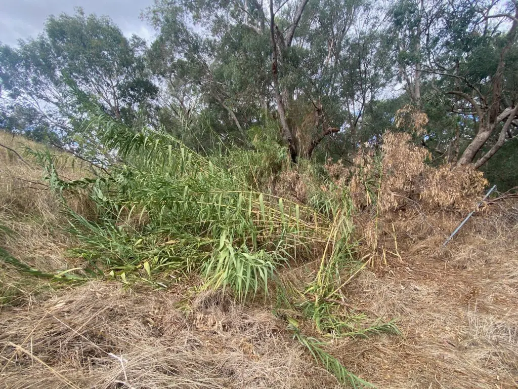
Catchment-wide threats such as Phytophthora dieback, feral species, weeds, erosion, sedimentation, unauthorised vehicle access, unsealed tracks, mining, water extraction and increased bushfire risk contribute to the extraordinary pressure placed on the river (EMRC, 2014).
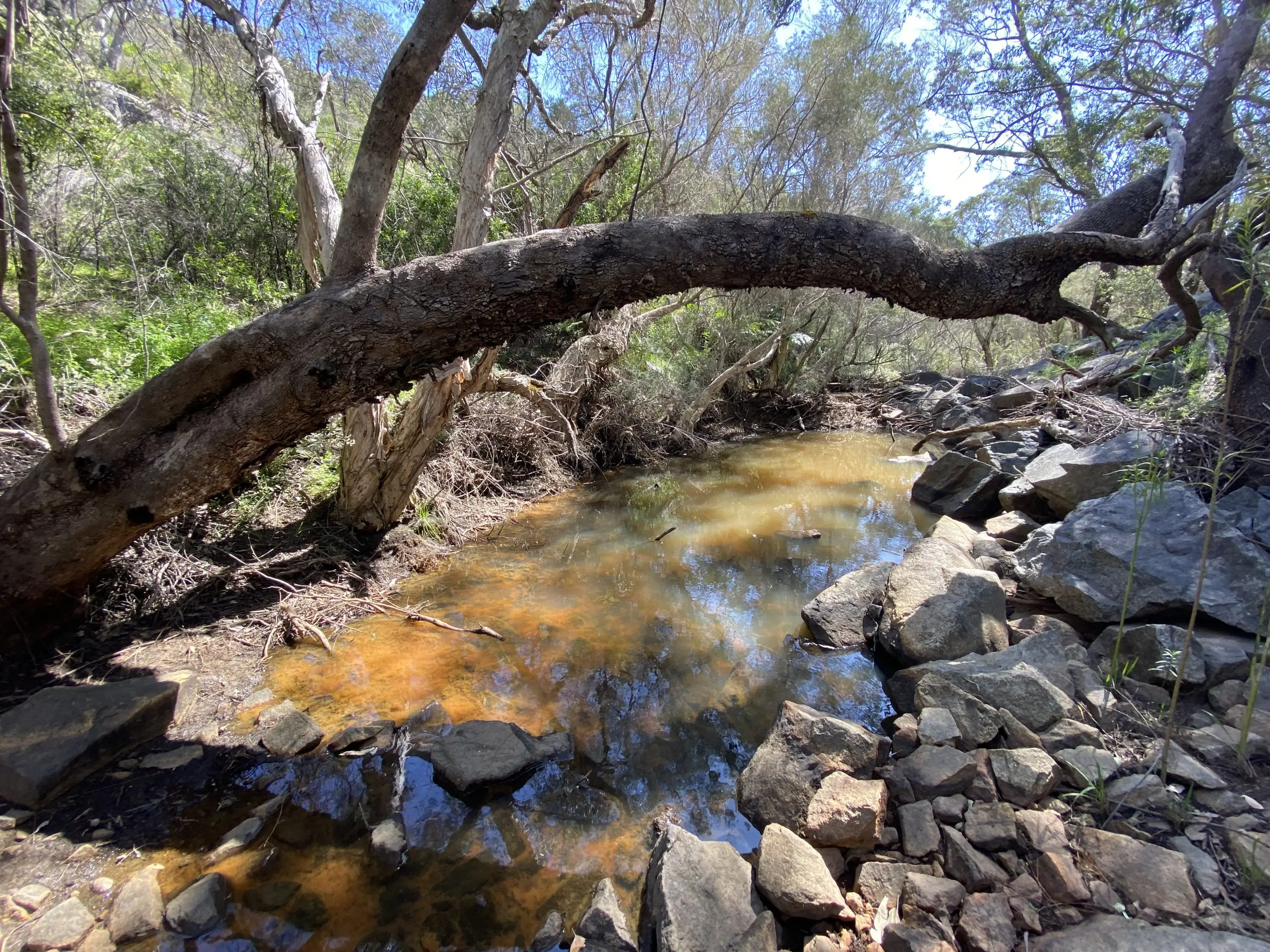
Decades of water abstraction from Mundaring Weir and the Lower Pumpback Dam have taken their toll on the river’s values.
Impacts include low water flows, loss of habitat, disconnection of pools, siltation, barriers to fish movement, limited gene flow, poor water quality, low oxygen and restricted public access (McGilvray & Sylva, 2018).
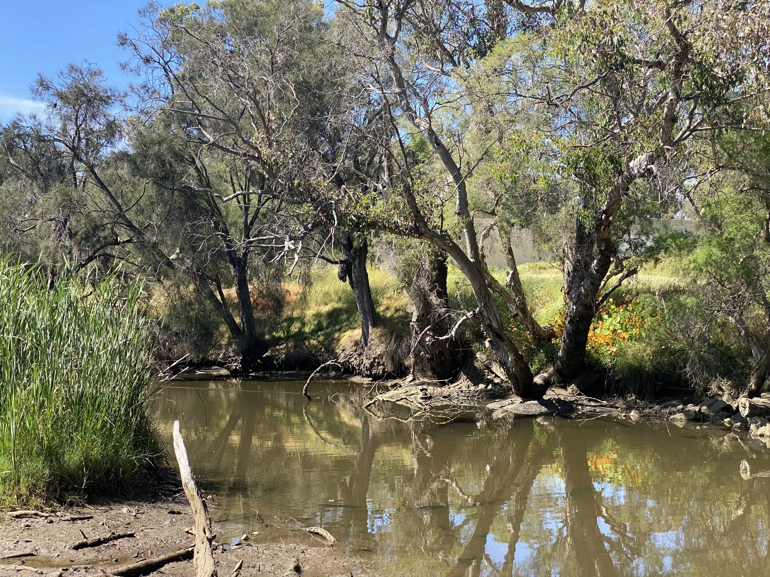
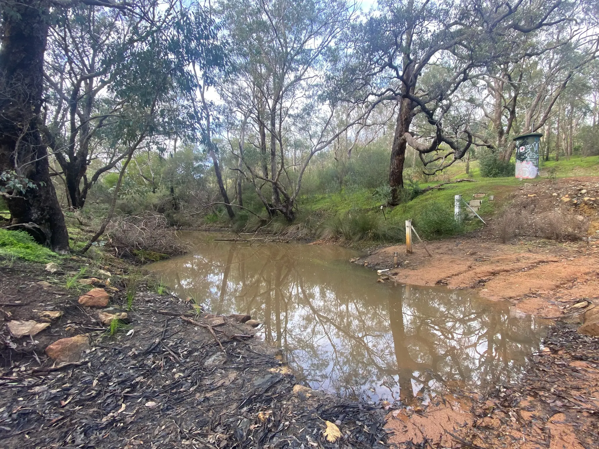
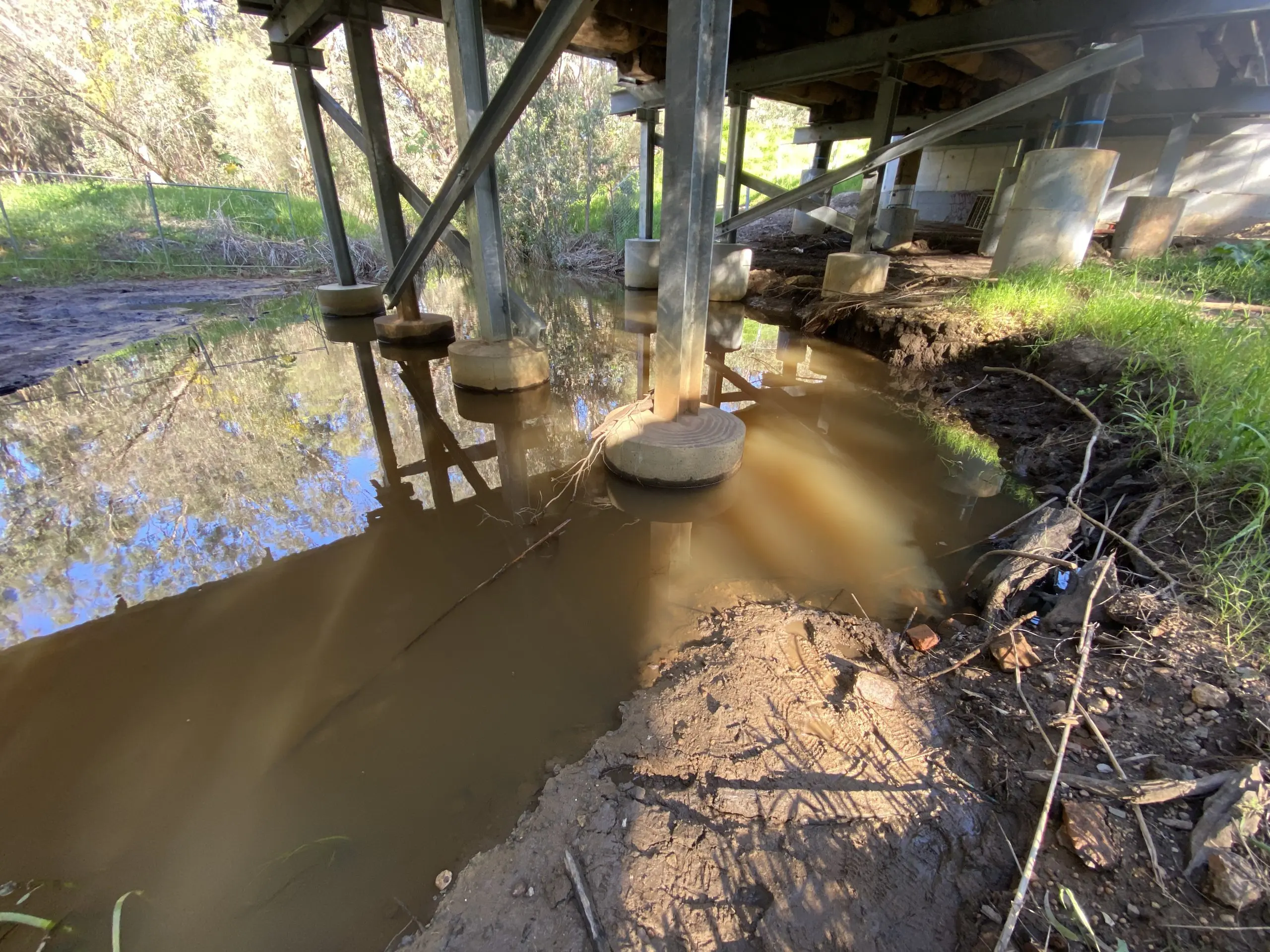
Many river pools are no longer permanent and the lower reaches are heavily sedimented.
Water Corporation periodically release water from the Lower Pumpback Dam. However, there are no water releases from Mundaring Weir, meaning that the middle catchment is mostly devoid of water flow. Community members and scientists have called for measures to increase water flow in the middle catchment (Storey & Creagh, 2010).
Restoring water flow is an important long term aim of our BoorYul-Bah-Bilya program, as determined by our Senior Elders.
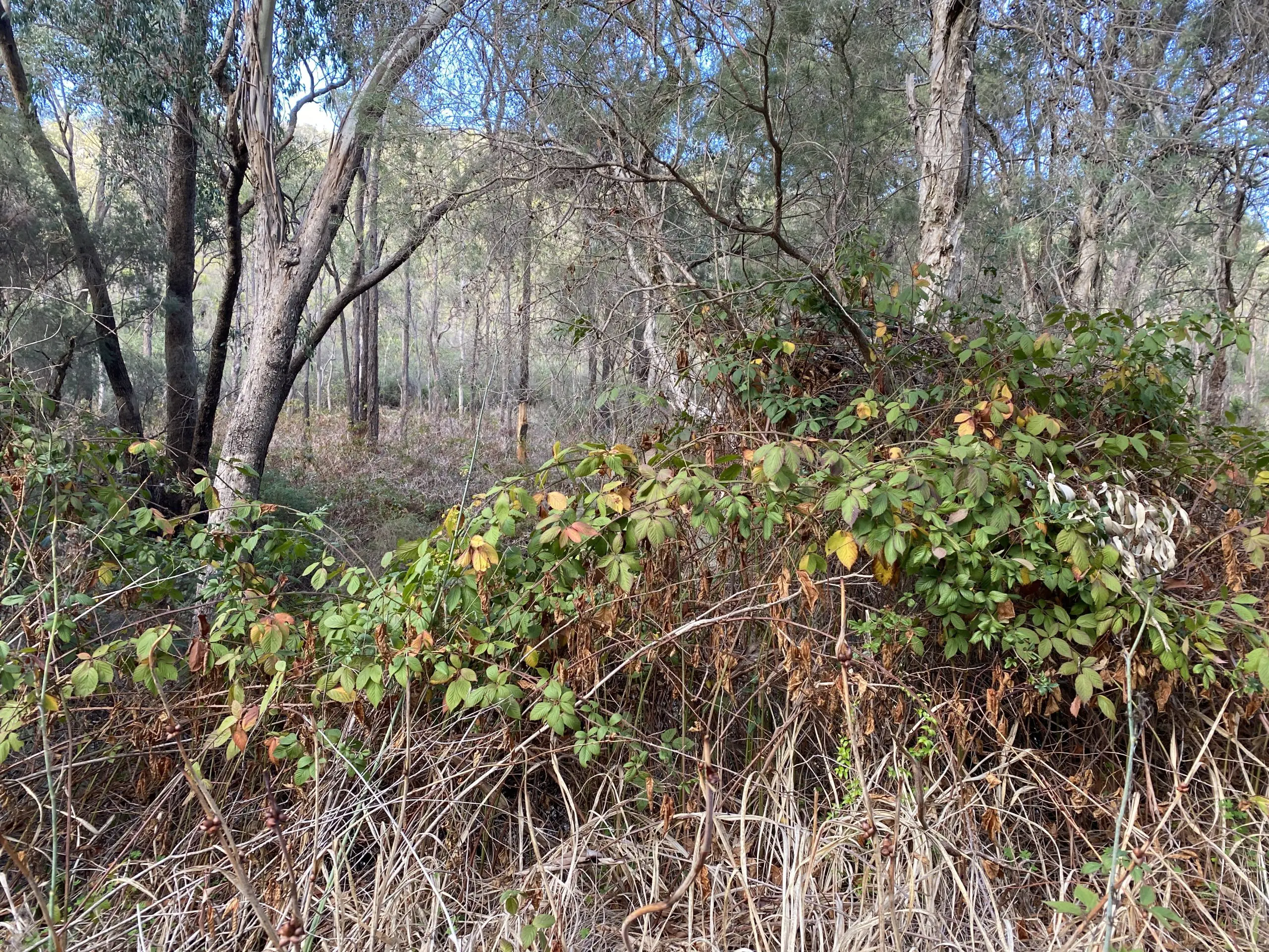
Condition assessments in 2001 and 2018 revealed extensive weeds, degraded vegetation, eroded riverbanks and a mostly cleared lower floodplain (McGilvray & Sylva, 2018; Siemon, 2001). Decline of riverbank vegetation has been recorded at the river’s confluence with the Swan River in Guildford since 2010 (Trayler, 2020).
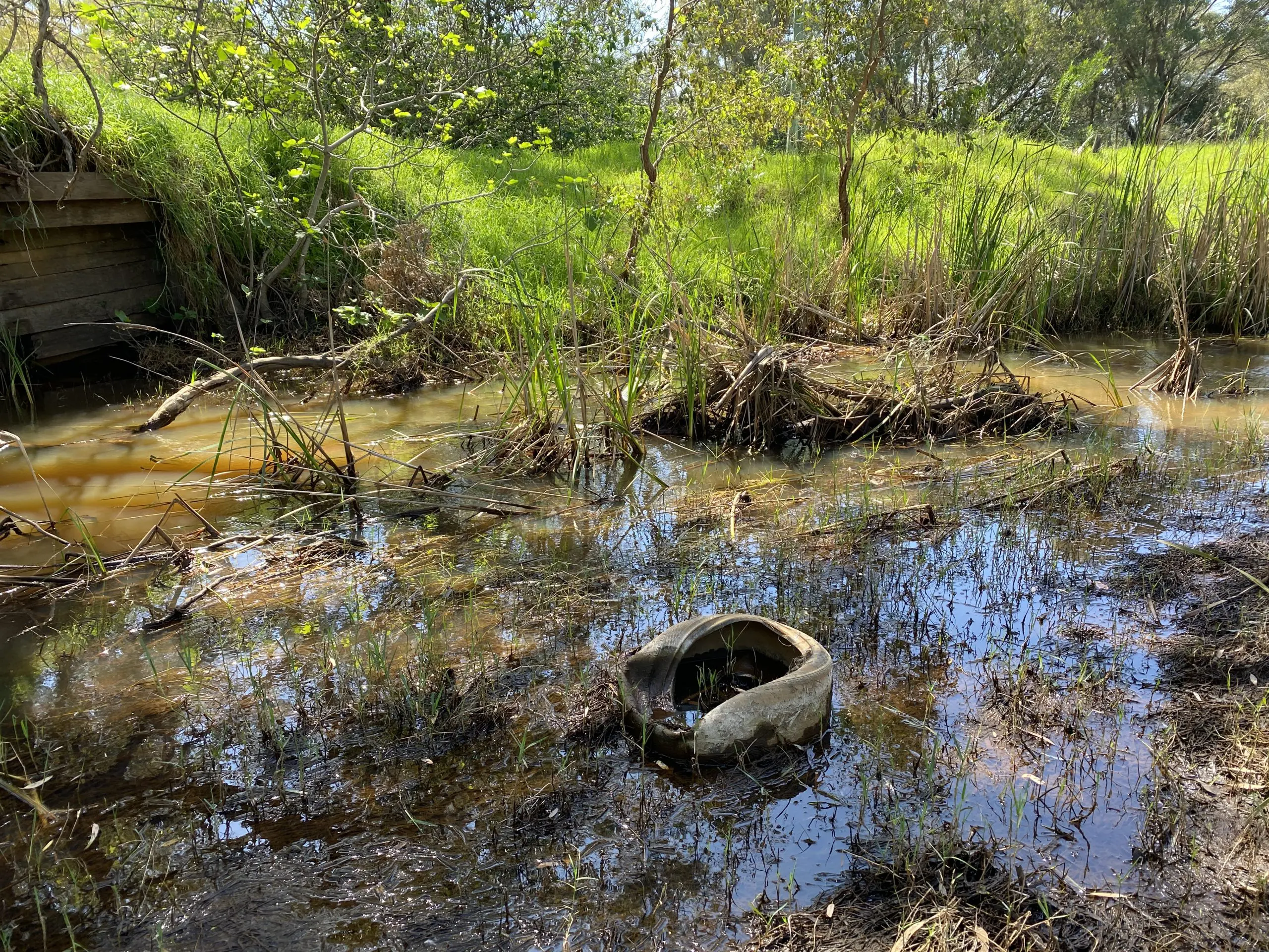
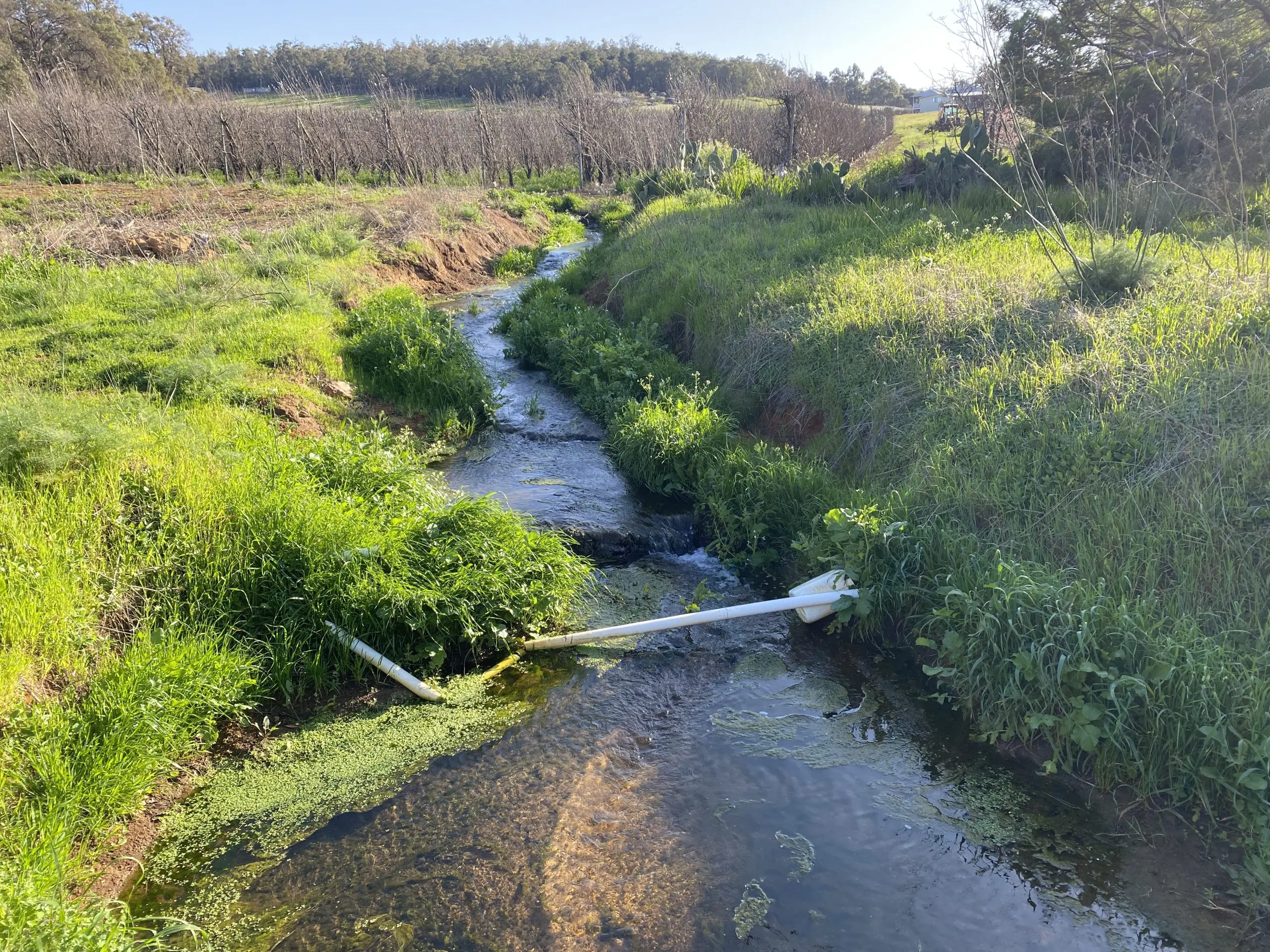
Sampling has identified pollutants such as nutrients, hydrocarbons, metals, pesticides, herbicides, surfactants and per- and polyfluoroalkyl substances (PFAS) in the river’s water and sediment (EMRC, 2014; Flynn, 2025; Foulsham et al, 2009; Nice et al, 2009; Nice, 2009; Novak & Hoeksema, 2022; Novak & Hoeksema, 2022).
In 2024, BNAA collected water and sediment samples from 12 locations across the catchment to increase our understanding of the river’s health and contribute towards a baseline for monitoring future changes. The results are presented HERE.
Studies confirm that native fish, crayfish, mussels and invertebrate numbers have declined, likely due to a combination of pressure from low water flows, drying of pools, vegetation clearance, habitat degradation, poor water quality and feral species (Close et al, 2014; Creagh & Storey, 2011; Storey & Creagh, 2010; Wansbrough & Stewart, 2006). It is thought that deformed freshwater mussels found in the river may demonstrate chronic effects of water pollution (Edwards, 1990; Klunzinger et al, 2011).
The river’s water is predominantly fresh but is highly vulnerable to rising salinity caused by land clearing (Batini & Selkirk, 1978; Croton & Dalton, 1999; Smith et al, 2007; Ward, 1977; Wood, 1924).
Shortly after construction of Mundaring Weir, 20,000 acres of surrounding trees were ringbarked and killed in an attempt to increase the amount of water flow into the dam (Bush, 2009; Menck, 2013).
The result was an increase in salinity in the weir, although it was not until the 1920s that there was widespread acceptance of the link between tree clearing and salinity (Smith et al, 2007). Forest clearing resumed between 1940-1970s, however, the state government eventually adopted a strategy to purchase freehold land to reforest and protect.
Now, 97% of the weir’s catchment is forested. However, salinity impacted runoff still occurs in the catchment’s north-east where private property and cleared land exist (e.g. salinity-impacted Wundabiniring Brook).
Future land clearing from mining remains a major risk to salinity of Mundaring Weir and drinking water supplies. This risk is exacerbated by a drying climate, reduced rainfall and increased evaporation.
Perth has undergone a rapid expansion of population and infrastructure in recent years, with extensive clearing of native vegetation and floodplain development.
The middle and upper reaches of the Mandoon Bilya catchment are largely protected by national parks and drinking water catchment. However, the lower floodplain and its few remaining wetlands are very vulnerable to a continuous pressure to develop land for Perth’s growing population.
The river’s floodplain is gradually being rezoned and infilled for housing as the government pushes towards a target of 3.5 million people in Perth by 2050 (now 2.3 million) (Cardno, 2015; City of Swan, 2014; DPLH, 2018; DPUD, 1992; DP & City of Swan, 2011, RPS, 2013; Shire of Mundaring, 2017).
The floodplain has lost most of its “Guildford Complex”, a rare and threatened vegetation type, and developments continue to be approved that will clear what little remains.
Since colonisation, the river has had a history of neglect. The lower reaches have a legacy of industrial land use and historical contaminated sites including the Midland Railway Workshops, OPEX oil refinery, brickworks, a tannery and an abattoir (Crisalis, 2005; Ellis, 2004; EPA, 2001-2003; EPA, 2019; MRA, 2001, MRA, 2004; MRA, 2017).
Stockpiles of contaminated soil that were excavated from the former Railway Workshops site still remain on the river’s floodplain in Midland (EPA, 2006; MRA, 2006).
The hazardous fire that occurred at the former Bellevue Hazardous Waste Facility in 2001 was one of Australia’s largest hazardous materials fires (EISC, 2001-2002; Golder, 2009; Mundle, 2013; URS, 2002).
Post-fire monitoring revealed that groundwater under the site was contaminated with hydrocarbons and halogenated solvents and was moving towards the Mandoon Bilya (DEC, 2009; DER, 2013; Landcorp, 2018).
Almost ten years later, WA’s first permeable reactive barrier was installed in 2010 in an attempt to stop contaminated groundwater from reaching the river and the adjacent floodplain ‘damplands’ (Golder, 2010).
There is a general lack of awareness and understanding about the value of Mandoon Bilya compared to other Perth rivers, including a common misconception that it is not a “real” river because it has lost much of its water flow to Mundaring Weir and the Lower Pumpback Dam.
Many people do not know how valuable the river is or its vulnerability to incremental threats. The importance of the lower floodplain is not recognised, despite its high ecological and cultural values, and its wetlands are largely ignored. In 2022, a Swan councillor suggested rerouting heavy freight rail through the river valley, demonstrating a lack of knowledge about the river’s values in key decision makers (City of Swan, 2022).
Threats to the river’s health are exacerbated by complex land ownership, fragmented management and lack of sufficient investment. Catchment land use includes a mix of private property, conservation estate, drinking water catchment and state forest that stretches over six local governments and at least six state government agencies. Management is governed by a complicated web of overlapping policies and plans (Flynn & Ugle, 2023).
Limited access to the river’s places exacerbates the problem by increasing community disconnection from its values and apathy towards its protection. In a way, the river is under threat from a lack of knowledge, appreciation of its values and commitment for its protection.
A 2014 report by the WA Auditor General found that despite a range of plans and strategies, the Swan Canning river, is not adequately protected and water quality is continuing to decline (OAG, 2014).
The report stated that despite long term monitoring, data has not been well used to educate the community or parliament about river decline, and there is no overall plan for actions and resources needed to restore river health.
The 2015 Swan Canning River Protection Strategy was designed to address this issue; however, it excludes the Avon River, a major tributary of the Swan River, and only covers the lower reaches of Mandoon Bilya up to the Lower Pumpback Dam (DPW, 2015).
Declining health is not unique to Mandoon Bilya. Among Western Australia’s 208 major rivers, fewer than 1% are in “pristine or near pristine” condition (DOE, 2004). River management is working as designed by government, and there are many people and organisations doing great work, yet river health continues to decline.
Globally, rivers are under similar threat from population growth, urban expansion and climate change. Common risks include pollution, acidification, vegetation decline, altered flow, erosion and sedimentation.
Internationally, there have been recent calls by scientists to give rivers the same legal rights to exist as people to protect them for the generations of the future (Barkham, 2021; Clark, 2023).
In Australia, Birrarung, or the Yarra River, was the first to be legally recognized as a living entity in 2017, although it was not granted legal personhood (Marshall, 2024).
REFERENCES
Barkham, P (2021) Should rivers have the same rights as people? The Guardian, 25 July 2021.
Batini, F & Selkirk, A (1978) Salinity Sampling in the Helena Catchment, Western Australia, Research Paper No 45. Forests Department of Western Australia.
Cardno (2015) Helena Valley Traffic and Land Use Study, CEP02375. Prepared for Shire of Mundaring, August 2015.
City of Swan (2014) Local Planning Scheme No 17 Amendment No. 85: Hazelmere Enterprise Area Structure Plan, Precinct 2A Helena River.
Croton, JT & Dalton, JA (1999) Stream Salinity Response to Clearing and Revegetation of the Helena Catchment. Report to Water & Rivers Commission by Water & Environmental Consultants, June 1999.
Department of Environment and Conservation (2009) Bellevue Community Update. November 2009.
Department of Environment and Conservation (2009) Bellevue Community Update. March 2009.
Department of Planning and Urban Development (1992). Foothills Structure Plan, Final. September, 1992.
Edward, DH (1990) Stream Fauna Study: Bioaccumulation of Organochlorine Pesticides by the Freshwater Mussel, Westralunio Carteri Iredale, Piesse Gully, Lower Helena River Catchment, Report No 14. Aquatic Research Laboratory, The University of Western Australia, January 1990.
Landcorp (2018) Bellevue Cleanup Update. April 2018.
McGilvray, A & Sylva, K (2018) Helena River (Mandoon) Tributary Foreshore Assessment Report. Department of Biodiversity, Conservation and Attractions, January 2018.
Menck, C (2013) Mundaring Weir Forestry Settlement 1923-2011: A History of Community Life and Work. Prepared for Water Corporation by Mundaring and Hills Historical Society.
Metropolitan Redevelopment Authority (2017) Midland Heritage Interpretation Strategy. August 2017.
Midland Redevelopment Authority (2004) Heritage Strategy for the Midland Central Redevelopment Area.
Midland Redevelopment Authority (2006) Helena East Precinct Remediation and Redevelopment: Public Environmental Review, Volume 2 Appendices, Version 3, Report No: 2005/142. Prepared by ATA Environmental, 28 March 2006.
Mundle, K (2013) World-First PRB Remediation System. Waste Management and Environment, 24 (5), 49.
RPS (2013) Helena Valley Land Use Study. Prepared for the Shire of Mundaring, October, 2013.
Shire of Mundaring (2017) Shire of Mundaring Foothills Growth Strategy. Adopted in July 2017.
Storey, A & Creagh, S (2010) Lower Helena River: Trial Environmental Releases. Report to Swan River Trust and Department of Water by Wetland Research & Management, August 2010.
Wansbrough, C & Stewart, S (2006) Helena River Freshwater Fish Habitat Survey. Eastern Metropolitan Regional Council.
Ward, D (1977) Tree Removal and Salinity in Helena Catchment, Western Australia, Research Paper No 29. Forests Department of Western Australia.
Wood, W (1924) Increase of Salinity in Soil and Streams following Destruction of Native Vegetation. Journal of the Royal Society of Western Australia, 10, 35–47.
Please let us know if any of these links are broken or if you’re looking for a specific document – we may be able to help!
We have a unique opportunity to change the future for Australian rivers but we need your help.
The more people complete our survey, the stronger our plan will be. We want to hear from everyone!